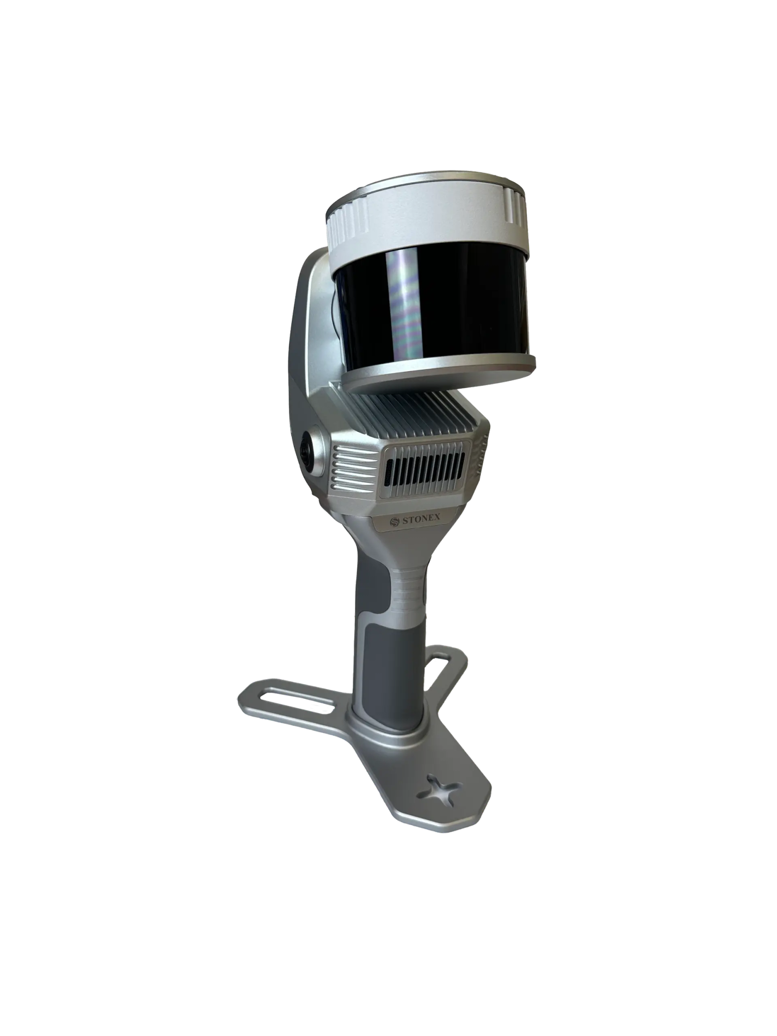

X200 SLAM Laser Scanner
Portable SLAM scanner, lightweight, high accuracy, fast 3D, long range. Hybrid scanning
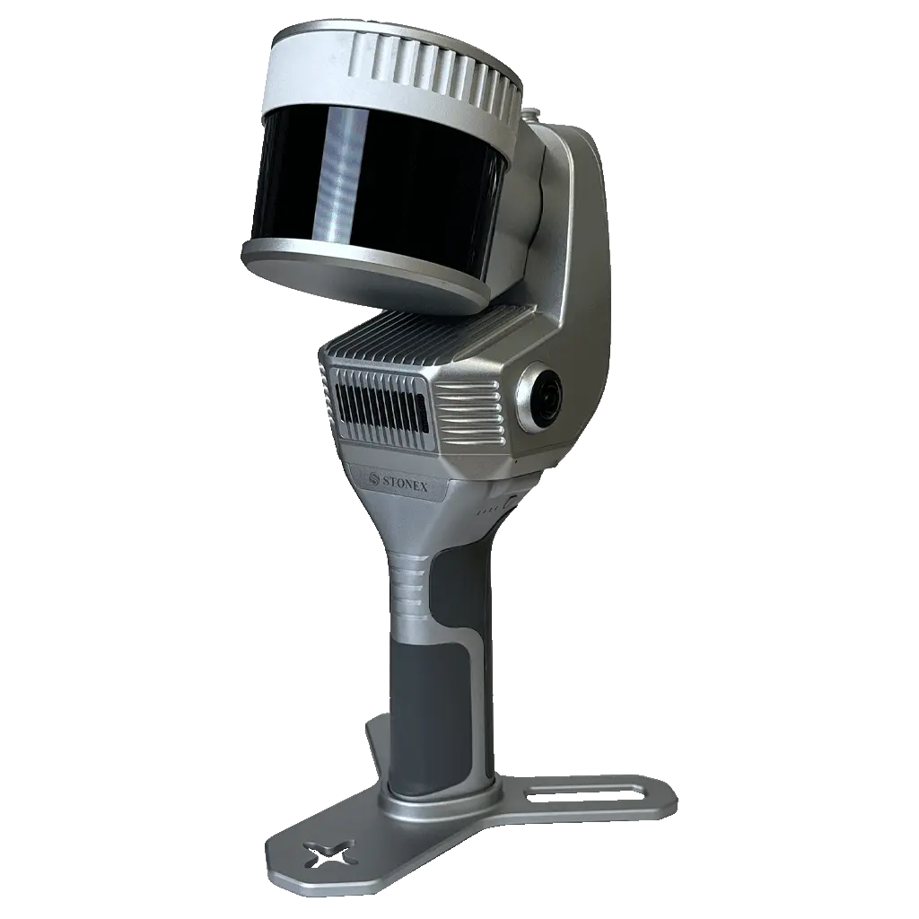
The X200GO is the latest generation system based on the SLAM technology, capable of covering any customer need. The range of up to 300 metres and a rotating head that maximises the coverage of the laser beam make it versatile for any environment. Equipped with 2 cameras and RTK receiver for real-time point cloud colouring and orientation. The two cameras provide navigable and measurable panoramic cameras superimposed on the 3D model. The system allows for the survey of static scans in X-Whizz mode, automatically aligned to the SLAM survey. Backpack, shoulders hook, car mount and holder for DJI M350 can complete the system.