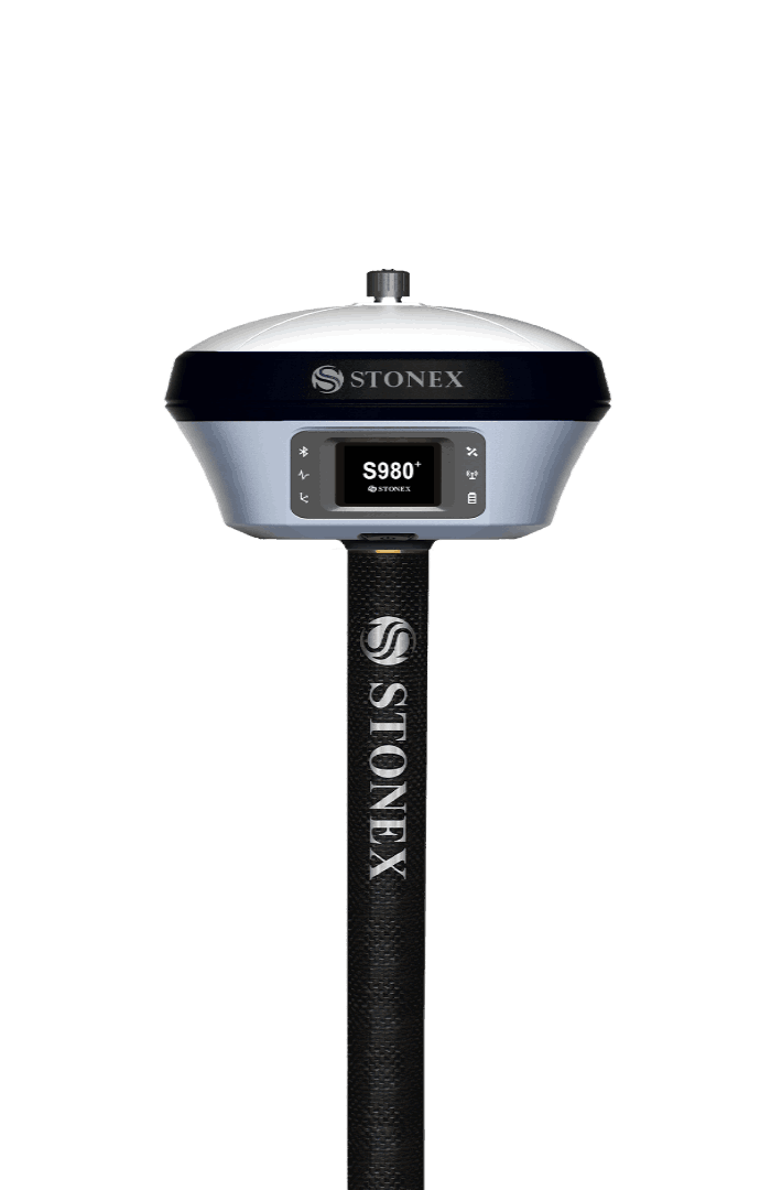

Stonex S980
GNSS Reciever - S980+ - designed for high-precision surveying work
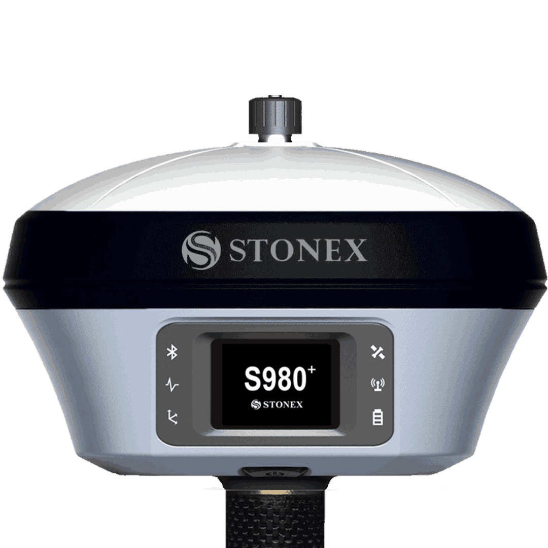
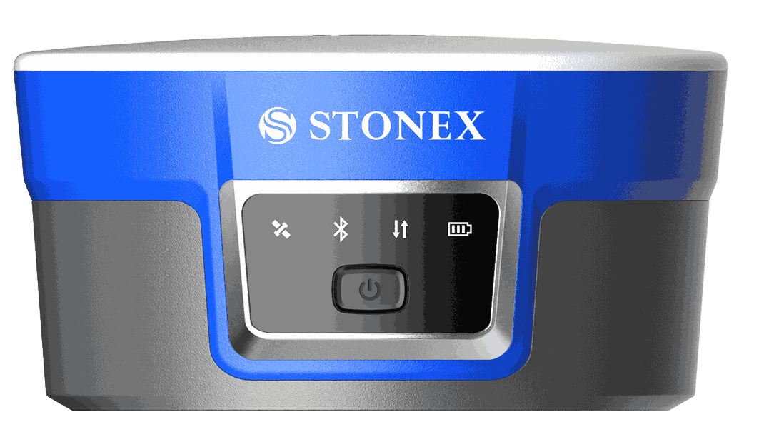
The Stonex S980 is a high-performance professional GNSS receiver, designed for high-precision surveying work, and widely used in infrastructure projects, surveying, and civil engineering. Key Features: Supports all satellite systems: Tracks GPS, GLONASS, Galileo, and BeiDou satellites simultaneously, ensuring excellent accuracy even in challenging environments. High precision (centimeter-level): Provides positioning accuracy up to the centimeter level, making it ideal for engineering surveys and projects requiring high precision. Integrated connectivity: Equipped with multiple connectivity options including Bluetooth, Wi-Fi, and 4G LTE, allowing for easy data transfer and remote control. Rugged and durable design: Water and dust resistant with an IP67 rating, capable of withstanding harsh working conditions on project sites. Long-lasting battery: Can be used all day without the need for recharging.